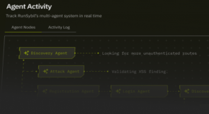


 NEWS
NEWS
NEWS
NEWS
NEWS

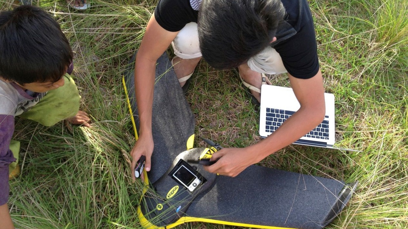
Malaria Mapping With Drones
In the remote jungles of Southeast Asia, drones are being used to fight a new battle. But it’s not against Al Qaeda or ISIS, but a smaller and potentially even more deadly foe – malaria.
Plasmodium knowlesi is primate malaria parasite that used to be confined to macaques and other primates in the region and which rarely affected humans. But the number of human cases has shot up to record levels over the past decade. Without prompt diagnosis and treatment, the disease can quickly lead to organ failure and death.
With limited health facilities available in the region, scientists are instead trying to stop the disease at its source, but to do so they need to know what’s causing the sudden rise in human cases. That’s why the MONKEYBAR project is using senseFly eBee drones to map regions affected by the disease and try to figure out when and where humans are at risk.
The mission was described in a study in Trends in Parasitology. The research is focused on two sites – Sabah in Malaysia and Palawan in the Philippines. Sabah has been heavily deforested in recent years to make way for rubber plantations, and it’s also seen a rise in the number of plasmodium knowles malaria cases. Palawan, whose forests are more or less pristine, has seen very few human cases despite having the same kinds of macaques and mosquitoes.
Kimberly Fornace, of the London School of Hygiene and Tropical Medicine, says deforestation could be the key, because plasmodium knowlesi-carrying mosquitoes are rarely found in areas inhabited by humans.
“Drones can provide highly accurate information on changes to land, such as deforestation or changing types of agriculture,” says Fornace. “This helps us to understand the impact on the movement and distribution of people, animals, and insects that carry disease.”
 Image credit: Trends in Parasitology
According to Fornace, the biggest benefit of drones is that they provide real-time data, allowing the scientists to keep their maps up to date. That’s important because Sabah’s forests are often cleared to make way for new trees. The drones allow the team to quickly map the changes as they happen, which in turn helps them to understand the distribution and movement of human and macaque populations, and pinpoint where they’re most likely to interact.
The MONKEYBAR project will run for five years, and is yet another example of how drones are enabling researchers to approach problems in exciting new ways.
Support our mission to keep content open and free by engaging with theCUBE community. Join theCUBE’s Alumni Trust Network, where technology leaders connect, share intelligence and create opportunities.
Founded by tech visionaries John Furrier and Dave Vellante, SiliconANGLE Media has built a dynamic ecosystem of industry-leading digital media brands that reach 15+ million elite tech professionals. Our new proprietary theCUBE AI Video Cloud is breaking ground in audience interaction, leveraging theCUBEai.com neural network to help technology companies make data-driven decisions and stay at the forefront of industry conversations.