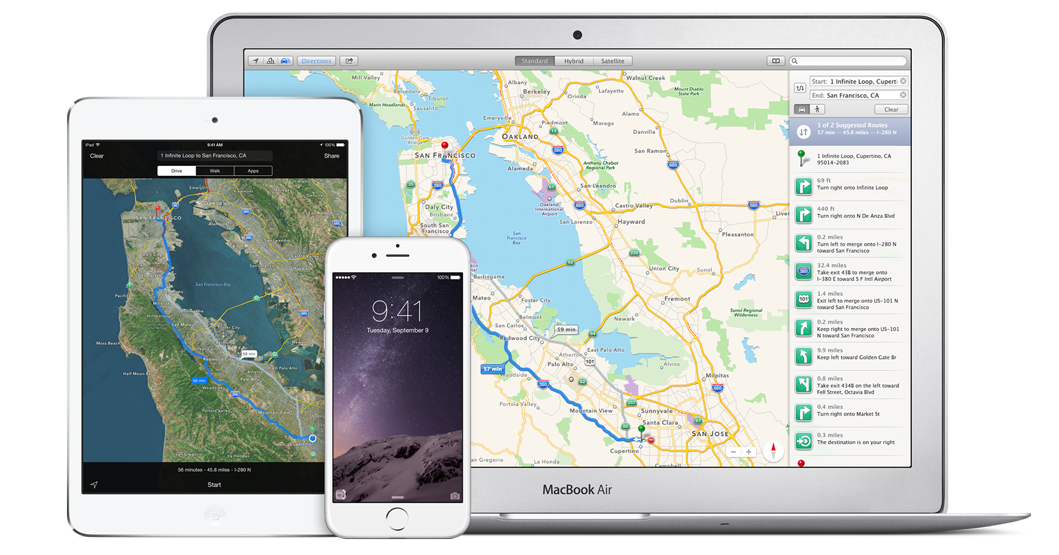













Following a report last week that Apple is preparing to debut its Transit feature for Maps in iOS 9 next month, details have emerged regarding the actual rollout of the service. Sources familiar with Apple’s plans for Maps have told 9to5Mac that the Transit feature will only cover six cities across the U.S., Canada, Europe and China at launch.
San Francisco and New York will make up the U.S. cities to gain public transport information on Maps in iOS 9 at launch while Toronto will be the only Canadian city to gain transit information for now. Three European cities will be included at launch, namely London, Berlin and Paris.
In China, Apple is relying on its partner AutoNavi to collect transit data in that country. According to the sources, Apple is prohibited by “pre-existing agreements” from collecting its own map data in China as it does in North America and Europe. The report is not clear on whether or not any Chinese cities will be included at the launch of the Transit feature or come at a later date.
In the U.S., Apple has pegged Boston, Massachusetts as the next city for which public transit info will be added to Maps.
Tokyo, Japan is also earmarked to gain Apple’s Transit feature, although the enormity and complexity of the city’s public transport system may delay its inclusion.
Notably, car-loving Los Angeles is not high on Apple’s priority list of cities to include, according to the sources.
As and when Apple adds public transport details for more cities to the Maps app for iOS, users will be able to update the app over-the-air. This, as noted by 9to5Mac, means there is no need for a full iOS update. Apple will reportedly also notify users via push notifications when public transport information becomes available in their home city.
Apple’s built-in Maps app for iOS has lacked public transit information ever since the iPhone maker dropped Google as its provider for map data in 2012.
Apple is set to introduce iOS 9 – with the Transit feature in Maps as one of the next-generation OS’s new features – at its annual Worldwide Developers Conference scheduled to start on June 8.
Support our mission to keep content open and free by engaging with theCUBE community. Join theCUBE’s Alumni Trust Network, where technology leaders connect, share intelligence and create opportunities.
Founded by tech visionaries John Furrier and Dave Vellante, SiliconANGLE Media has built a dynamic ecosystem of industry-leading digital media brands that reach 15+ million elite tech professionals. Our new proprietary theCUBE AI Video Cloud is breaking ground in audience interaction, leveraging theCUBEai.com neural network to help technology companies make data-driven decisions and stay at the forefront of industry conversations.