


 NEWS
NEWS
NEWS
NEWS
NEWS
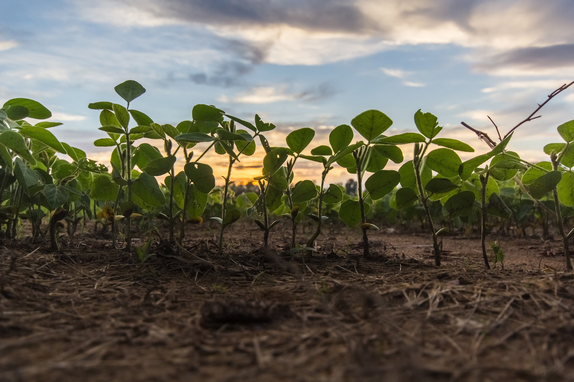
Smartphone users rely on numerous different kinds of weather apps to keep them up to date about the latest forecast for the area they’re in. They’re pretty accurate too, and keep us reasonably well informed of impending rainstorms, heat waves and other potentially complicating climactic conditions. But a new app from Iteris Inc., a provider of informatics for transportation and agricultural businesses, has taken things a step further by incorporating soil analysis into its new WeatherPlot app.
Of course, this kind of granular data is overkill for the average user. But for farmers and other agribusinesses, it’s just what the doctor ordered. By accessing weather, water and soil data for any location on Earth, right down to the decimal points on latitude and longitude, farmers should be able to make a huge difference to their bottom lines. WeatherPlot provides access to this kind of data, pulling it from government databases, ground station radar, private company data and its own algorithms.
WeatherPlot’s weather and soil analysis and forecasts are powered by ClearAg, Iteris’s weather-based, agronomic learning platform. ClearAg leverages multidisciplinary expertise spanning meteorology, agronomy, computer, and data science, and massive amounts of weather, water and soil, satellite, and radar data, to provide precise, agronomic information about the environment that surrounds your crop.
“WeatherPlot provides environmental information with atomic clock-like precision for any field or test plot anywhere on earth, and specifically allows field staff and researchers to access key information in order to better understand what has occurred and what will occur at any location,” said Iteris’ Senior Vice President of Performance Analytics, Tom Blair. “ClearAg’s WeatherPlot app can provide better crop and environmental science to help manage declining water resources, prevent overuse and misuse of chemicals, and mitigate weather risk in a changing climate.”
WeatherPlot is already being used successfully by a number of different businesses. These include crop protection firms that use the app to test different plots located in a variety of geographic areas. They do so to see which areas are best suited to different types of crops, and WeatherPlot gives them a consistent and accurate way to measure the local environment and soil.
Iteris offers a number of add-on services for WeatherPlot users, including APIs and SDKs for its own data, and product services for software OEMs, for them to embed the company’s data into their own products.
Support our mission to keep content open and free by engaging with theCUBE community. Join theCUBE’s Alumni Trust Network, where technology leaders connect, share intelligence and create opportunities.
Founded by tech visionaries John Furrier and Dave Vellante, SiliconANGLE Media has built a dynamic ecosystem of industry-leading digital media brands that reach 15+ million elite tech professionals. Our new proprietary theCUBE AI Video Cloud is breaking ground in audience interaction, leveraging theCUBEai.com neural network to help technology companies make data-driven decisions and stay at the forefront of industry conversations.