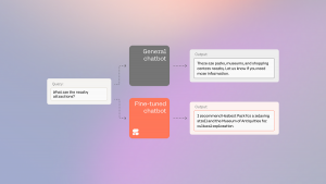


 BIG DATA
BIG DATA
BIG DATA
BIG DATA
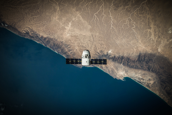
It’s estimated that about 9,000 satellites will be launched into orbit over the next decade, six times the number sent up during the previous 10 years. Those new platforms will gather a massive amount of geospatial data, which startup Descartes Labs Inc. plans to harness.
The spinout from the Los Alamos National Laboratory on Thursday announced the completion of a $30 million funding round led by March Capital. Descartes will use the cash to fuel its mission of making satellite imagery accessible for a broader range of organizations.
Historically, the main obstacle to taking advantage of such data has been turning it into a usable form. The Descartes Labs Platform is designed to automate much of the technical heavy lifting involved in the task. It ingests about 5 terabytes of satellite imagery every day and performs extensive preprocessing using machine learning algorithms.
According to Descartes, the process begins with filtering inconsistencies. The platform picks out the highest quality imagery, ensures that every pixel is where it’s supposed to be and adjusts for atmospheric variations. The individual pictures are then stitched together into a unified data set.
This final task is much easier said than done. Descartes collects imagery from multiple satellites, some of which provide better resolution than others or are are updated more frequently. The company puts the individual puzzle pieces together in a way that seeks to produce the most complete picture of the happenings on the ground.
Once all is said and done, the Descartes Labs Platform makes the imagery accessible through a set of programming interfaces. Organizations can search the startup’s archive based on date, the spectral band at which snapshots were taken, cloud cover and other relevant factors.
Satellite imagery is useful for a wide range of applications. Agricultural companies, for example, can analyze pictures taken over fields to forecast crop yields. Banks are increasingly drawing upon geospatial data to monitor real-estate development and other investment indicators.
Descartes plans to develop yet more use cases using the new funding. In a blog post, the startup hinted at plans to combine the satellite imagery in its platform with external data that can provide additional context. It listed sensory measurements, drone footage and social media interactions among the potential options.
Descartes’ funding round comes not long after a competitor called Orbital Insight Inc. closed an $50 million investment. Led by former NASA roboticist James Crawford, it counts venture giant Sequoia Capital as one its main backers.
Support our mission to keep content open and free by engaging with theCUBE community. Join theCUBE’s Alumni Trust Network, where technology leaders connect, share intelligence and create opportunities.
Founded by tech visionaries John Furrier and Dave Vellante, SiliconANGLE Media has built a dynamic ecosystem of industry-leading digital media brands that reach 15+ million elite tech professionals. Our new proprietary theCUBE AI Video Cloud is breaking ground in audience interaction, leveraging theCUBEai.com neural network to help technology companies make data-driven decisions and stay at the forefront of industry conversations.