


 APPS
APPS
APPS
APPS
APPS
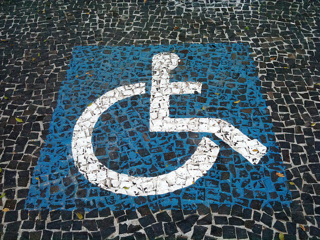
Navigating city streets in a wheelchair is notoriously difficult, but that may get slightly easier now that Google LLC has added wheelchair routes to its Maps app.
The company said today in a blog post that getting around in the city for people with mobility needs is no easy feat, so it has introduced the feature to help people find routes and stations that are wheelchair-friendly.
In cities such as San Francisco or New York, you can find information online on how wheelchair-accessible the streets and stations are, although it’s not exactly easy to navigate those sites. It’s also thought that in New York, about 80 percent of subways are inaccessible to those using a wheelchair, something that prompted a lawsuit this week.
This could mean few routes are seen in Maps for New York, since it was one of the places where the feature has been rolled out first, along with London, Tokyo, Mexico City, Boston and Sydney. Google said it’s working with more transit agencies, so the feature could expand into more cities.
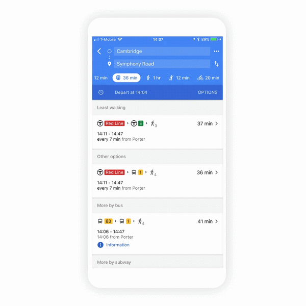
Using it is straightforward enough for anyone that has used Maps before. Simply open Maps, type in a “Location,” look at “Directions” and then hit the “Transportation” icon. Then tap “Options” and in the “Routes” section and you’ll see “wheelchair-accessible” as a new route type. You’ll then see a list of possible routes.
All this was made possible by people Google calls “Local Guides,” and their job was to scour cities and stations noting where wheelchairs could go. This meant looking at places where there were only step entrances, or where bathrooms were wheelchair-accessible. Google said more than 12 million places were checked.
“We built this feature to make life easier for people who use wheelchairs, but accessible routes are also helpful if you’re on crutches or pushing a stroller,” said Google. “With the help of transit agencies around the globe and people like you who contribute local knowledge, we’re making progress toward a more accessible world for everyone.”
Support our mission to keep content open and free by engaging with theCUBE community. Join theCUBE’s Alumni Trust Network, where technology leaders connect, share intelligence and create opportunities.
Founded by tech visionaries John Furrier and Dave Vellante, SiliconANGLE Media has built a dynamic ecosystem of industry-leading digital media brands that reach 15+ million elite tech professionals. Our new proprietary theCUBE AI Video Cloud is breaking ground in audience interaction, leveraging theCUBEai.com neural network to help technology companies make data-driven decisions and stay at the forefront of industry conversations.