 AI
AI
AI
AI


AI

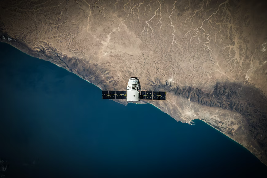
LGND AI Inc. has raised $9 million in funding to enhance its namesake cloud platform, which helps artificial intelligence models process satellite images.
The startup announced the seed round on Thursday. It was led by Javelin Venture Partners with participation from AENU, Clocktower Ventures, Coalition Operators, MCJ, Overture, Ridgeline and Space Capital. A number of angel investors chipped in as well.
Before AI models can process a piece of data, it has to be turned into a mathematical structure called an embedding. The structure and size of an embedding vary based on the type of file that it contains. Embeddings that store documents, for example, often organize similar words next to one another, while image embeddings tend to take up more storage space.
LGND’s cloud platform turns satellite images into embeddings to let AI models analyze them. According to the company, customers can carry out the task without writing any code. A visual interface makes it possible to customize details such as the satellite from which images should be sourced and the area each photo covers.
After generating a collection of embeddings, LGND can refine the dataset to more closely align it with an AI project’s requirements. A customer could, for example, filter satellite images that were taken using an infrared sensor or on cloudy days. It’s also possible to enrich the data by adding labels that describe the objects in each photo.
The service provides a file management interface for organizing datasets. Users can add metadata to embeddings, such as information on whether they’re ready for processing, and make them accessible to colleagues through sharing links. A monitoring tool tracks how embeddings are accessed.
LGND stores users’ embeddings in a hosted vector database. The system includes algorithms that make it possible to sort records and search for specific items. According to LGND, users can interact with the data through a web application that visualizes satellite measurements.
AI models access the company’s platform via application programming interfaces. Using the APIs, an AI that identifies sites suitable for data center construction could find information about a given location’s power infrastructure. It could then study the retrieved images to determine if the infrastructure may have to be upgraded.
LGND says its platform also supports a range of other use cases. Municipalities can use it to track traffic congestion. An agricultural company, meanwhile, could build an AI model that analyzes satellite images to forecast crop yields.
“Our mission is to make Earth data universally accessible and actionable through AI,” said LGND founder and Chief Executive Officer Nathaniel Manning.
The company will use its new funding to build features that can help AI agents process geospatial data. As part of the initiative, LGND plans to add support for Anthropic PBC’s MCP protocol. The technology makes it easier for AI agents to access data stored in external systems.
Support our mission to keep content open and free by engaging with theCUBE community. Join theCUBE’s Alumni Trust Network, where technology leaders connect, share intelligence and create opportunities.
Founded by tech visionaries John Furrier and Dave Vellante, SiliconANGLE Media has built a dynamic ecosystem of industry-leading digital media brands that reach 15+ million elite tech professionals. Our new proprietary theCUBE AI Video Cloud is breaking ground in audience interaction, leveraging theCUBEai.com neural network to help technology companies make data-driven decisions and stay at the forefront of industry conversations.