 EMERGING TECH
 EMERGING TECH
 EMERGING TECH
Wingtra AG, a leading manufacturer of fixed-wing drones capable of vertical takeoff and landing, today announced that it has raised $22 million in new funding as the company expands its drone solutions and operations globally.
The Series B round was joined by DiamondStream Partners, EquityPitcher Ventures, Verve Ventures, Ace & Co. and the European Innovation Council Fund.
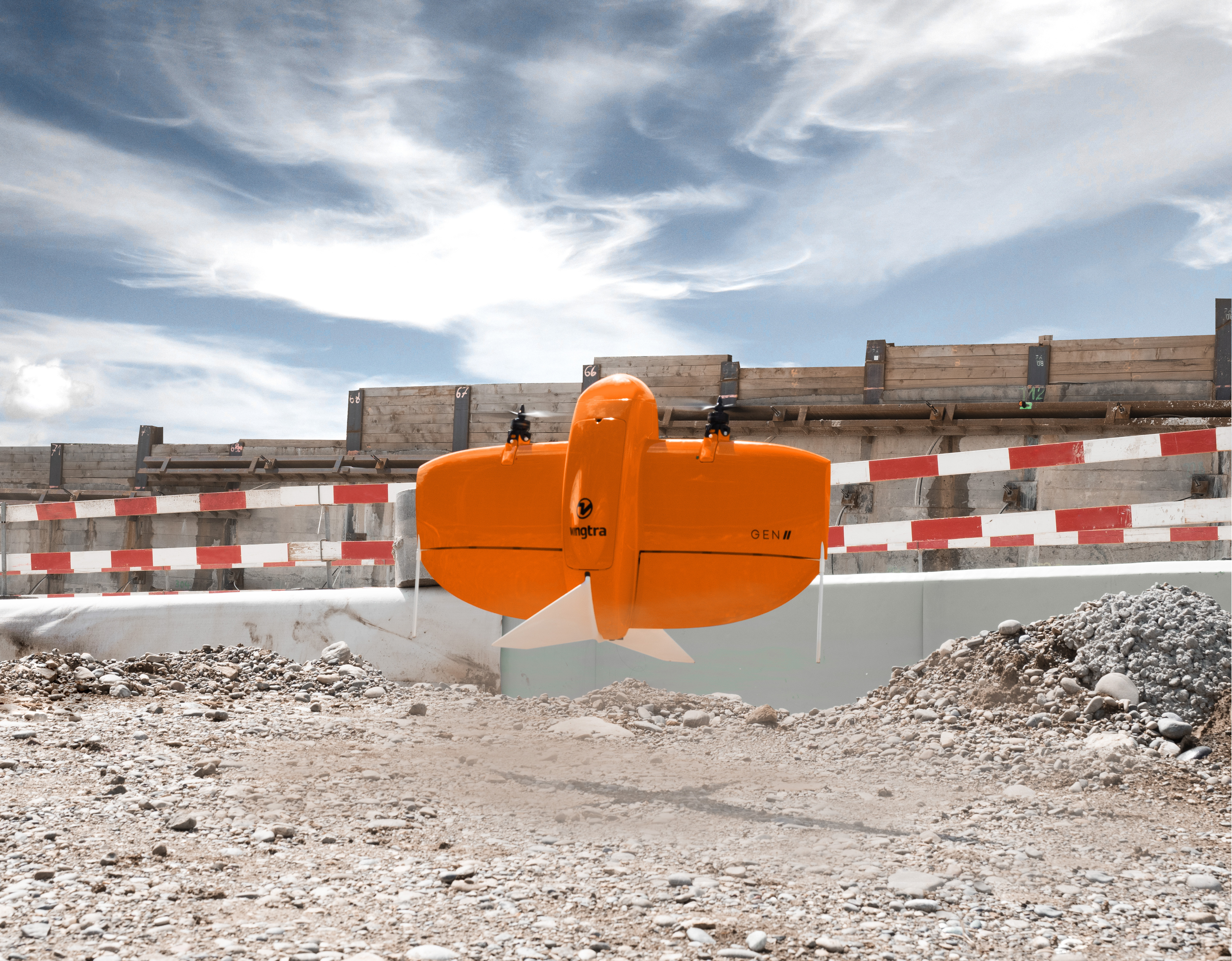
Wingtra builds professional mapping drones that combine rotor props and fixed wings along with the ability to takeoff and land vertically. This means the drones can takeoff and land like quadcopter drones and operate almost anywhere without the need for runways, but they can carry heavier weights and cover larger areas at a time due to their fixed wing design. As a result, the company’s drones can also support a wide variety of sensors.
The company also develops software for fully autonomous flights from takeoff to landing through the WingraPilot app that can guide the drone through collection and processing of mapping and aerial survey data. The solution is useful for using a assortment of different sensors that can be used for different projects such as monitoring construction and infrastructure, mining, environmental mapping, agricultural and urban planning needs, and land management.
“Our vision at Wingtra is to create a world where drones help people make the management of large parts of our planet more sustainable and efficient,” Maximilian Boosfeld, co-founder and chief executive of Wingtra. “We reduced the cost of adopting drone assets and increased the data quality. This will help industry to plan better and, fundamentally, improve safety for humans and the environment.”
Wingtra launched in 2017 and its signature drone, the WingtraOne VTOL commercial drone, has conducted more than 100,000 flights annually and mapped more than 18 million acres of land and sea – the equivalent of over 13.6 million football fields. Its fixed-wing design makes it especially good for mapping larger areas compared with helicopter drones, which don’t move horizontally as quickly.
The team in 2021 released its second-generation drone, the WingtraOne Gen II, which provides survey grade 2D and 3D maps through top-end cameras to deliver industry-best data. It can create 3D data for “digital twins” of regions at scale in a single flight covering up to 100 hectares and compared to a survey done using ground equipment can be done 30 times faster and up to 90% cheaper.
The company works with numerous businesses and organizations for mapping solutions, including the buildings material supplier CEMEX, global mining company Rio Tinto, the Army Corps of Engineers and the Kenya Red Cross.
The funding for Wingtra comes at a time when the commercial drone market is growing rapidly. According to a Grand View Research Inc. report, the estimated drone market was worth $29.8 billion in 2022 and is expected to reach $583 billion by 2030. The driving factors include applications for mapping and surveying where safety and monitoring needs often come into play. As these markets continue to diversify, Wingtra is looking to expand its business to meet them.
Support our mission to keep content open and free by engaging with theCUBE community. Join theCUBE’s Alumni Trust Network, where technology leaders connect, share intelligence and create opportunities.
Founded by tech visionaries John Furrier and Dave Vellante, SiliconANGLE Media has built a dynamic ecosystem of industry-leading digital media brands that reach 15+ million elite tech professionals. Our new proprietary theCUBE AI Video Cloud is breaking ground in audience interaction, leveraging theCUBEai.com neural network to help technology companies make data-driven decisions and stay at the forefront of industry conversations.